
Ride further. Together.
VéloCore brings a real-time cycling GPS, a route planner and your community together in one app, with an SOS alert always within reach.


- Free to start
- 14-day Premium trial
- SOS included

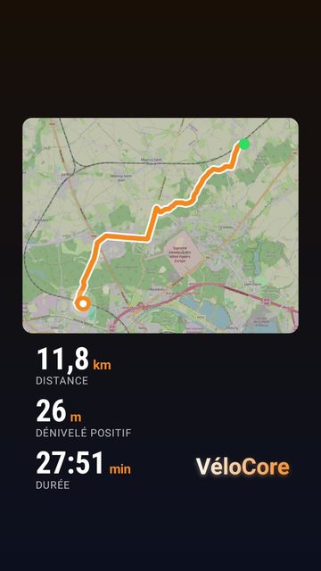
- One account: iPhone, Android and web
- SOS included for free
- Payments through the App Store and Google Play
Everything you need to ride with peace of mind.
From start to finish, VéloCore is with you at every stage of the ride.
A cockpit you can read at a glance.
Speed, distance, elevation and estimated power are shown large, in real time. Pick the layout that suits you, in portrait or landscape.
- Turn-by-turn voice guidance
- Barometric elevation
- Free GPX export, FIT and TCX with Premium
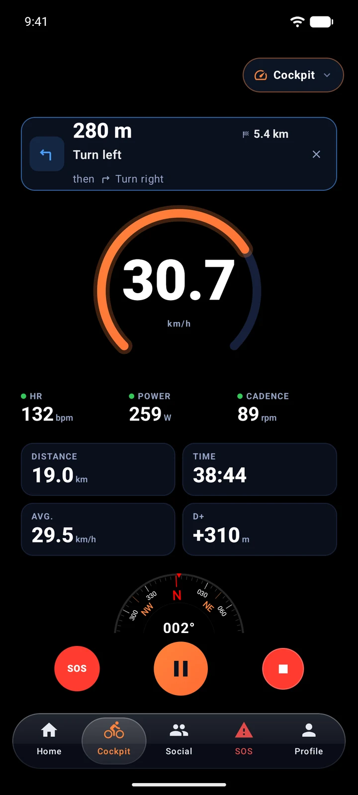
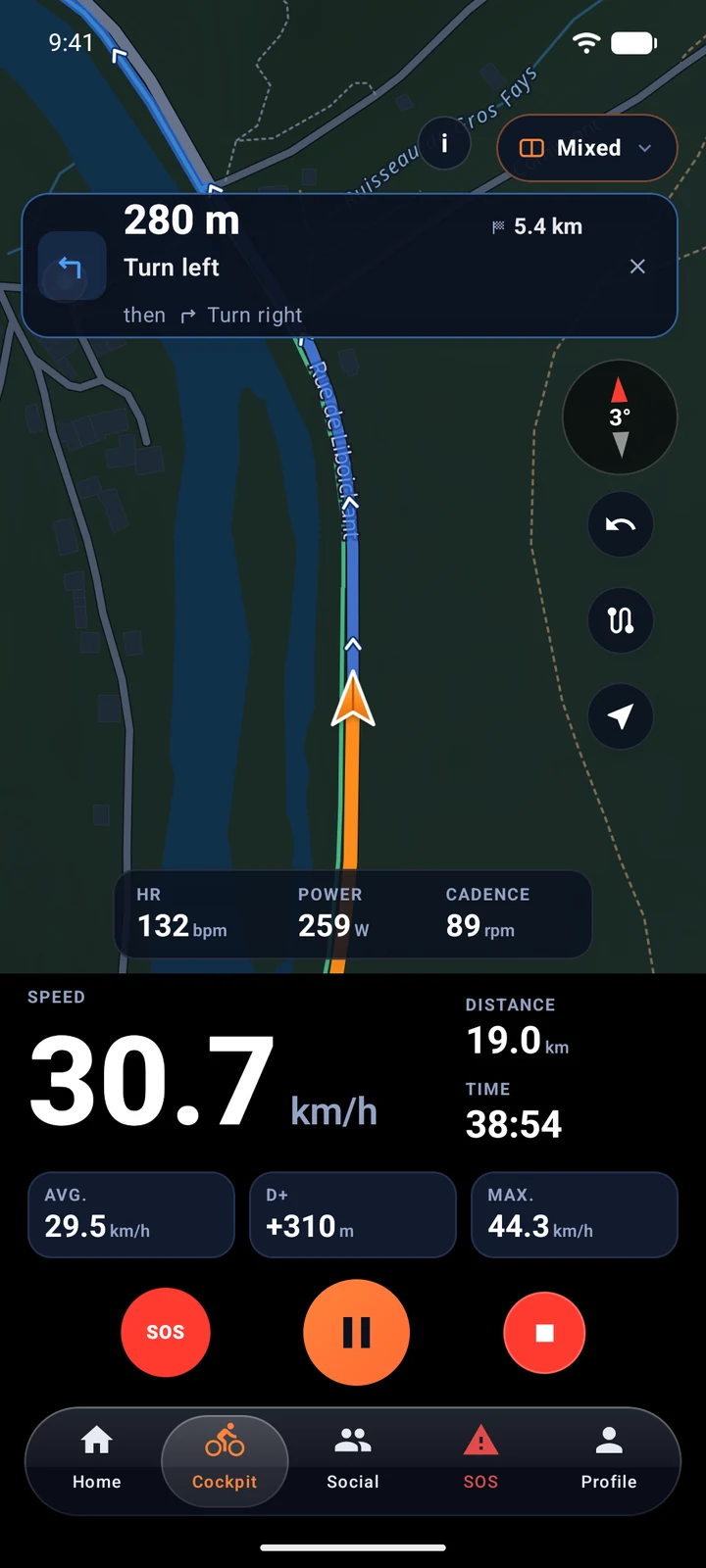
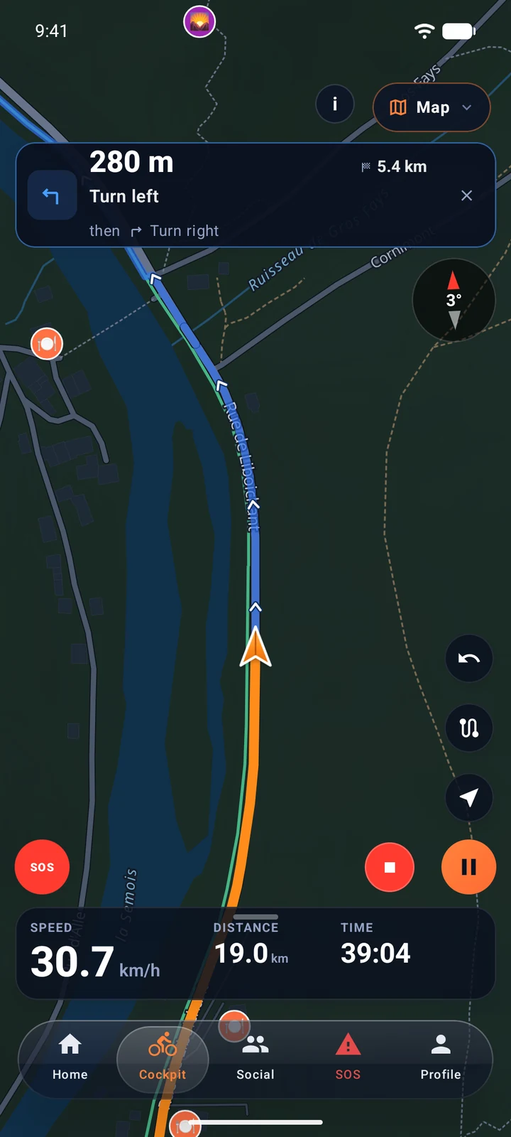
Thirty-eight seconds to understand VéloCore.
An app made for people who actually ride: the freedom of setting off, the road at your own pace, the urge to take the long way, and peace of mind all the way home.
- Real-time cockpit, readable in bright sunlight
- Routes drawn around where you are
- SOS and fall detection, even off the bike
Draw the ride that suits you.
Choose a profile, set a start and a finish or draw your line: VéloCore finds the right roads. The route then goes straight to your cockpit.
- Safe, gravel, trail or maximum climbing profiles
- Draw with your mouse or finger, automatic loops
- Free GPX export, compatible with your bike computer
Group rides people want to join.
Create a ride or an event, set the level and start groups: VéloCore designs a poster ready to share on Instagram, Facebook or WhatsApp. Free, in the app and on the web.
- Three levels: leisure, enthusiast, pro
- Up to three groups, each with its pace and distance
- Feed, messaging and nearby cyclists who are out riding

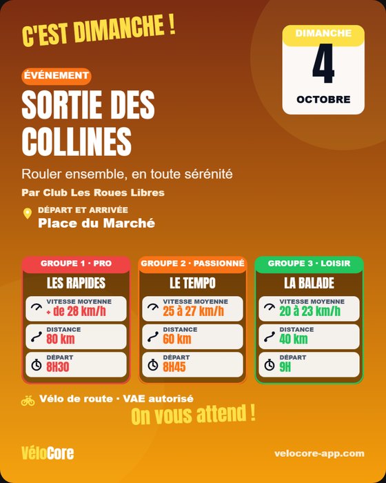 Poster made in the app
Ride solo. Never without a net.
A three-level, location-based SOS, visible to the VéloCore community around you, from the app and from the web. It is included in the free version.
Crash detection and live ride sharing
Information
Report a minor issue to your group and nearby cyclists.
Assistance
Ask for a hand nearby, with your location shared.
Emergency
Priority alert with your location, for a fast response.
VéloCore's SOS complements the emergency services: in a life-threatening emergency, also call 112.
Start for free.
Upgrade to Premium when you need it. 14-day free trial.
Free, no credit card
- Cockpit: real-time GPS tracking
- Route planner and GPX export
- 5 saved routes
- Ride recording and stats
- Community wall and messaging
- SOS, fall detection and live sharing
≈ €3.33/month · 14-day free trial
No commitment · 14-day free trial
- Everything in Basic, plus:
- Unlimited saved routes
- AI route planning
- Bike garage: part wear, spec sheet filled by AI
- Route weather: wind, rain on the way, best start time
- Multi-day trips: daily stages, places to stay, GPX and offline map per stage
- AI debrief of every ride: strengths, recovery, next ride
- Filtered Arena leaderboards: following, this month, this year
- Offline maps by area
- FIT and TCX exports
- Detailed analyses (power, laps, FTP)
Premium subscriptions are handled by the App Store or Google Play, right from the app.
Your questions, answered.
Another question? Write to us at contact@velocore-app.com: we reply within two business days.
Is VéloCore really free?
Yes. The free version includes the GPS cockpit, the route planner with GPX export, 5 saved routes, the community, the SOS and live tracking for your loved ones. Premium adds unlimited routes, AI route planning, route weather, multi-day trips, an AI debrief of every ride, the bike garage (part wear, spec sheet filled by AI), offline maps, filtered Arena leaderboards, FIT and TCX exports and detailed analytics.
Which devices can I use it on?
On iPhone (iOS 17 and later) and Android (8.0 and later). The planner and your space are also available in a web browser, with the same account.
How does the SOS work?
You choose a level: information, assistance or emergency. The alert includes your location and is visible to the VéloCore community around you, in the app and on the web. It does not replace the emergency services: in a life-threatening emergency, also call 112.
Can I send my routes to my GPS bike computer?
Yes. GPX export is free, and the FIT and TCX formats are included with Premium. These files open in most GPS bike computers and apps.
How do I cancel Premium?
Your subscription is managed by the App Store or Google Play. Cancel at any time from your phone's subscription settings; Premium stays active until the end of the paid period.
Guides and tips
Draw it, say it, ride it: what's new in September 2026
Routes drawn with a finger or the mouse, loops generated from a sentence, reliable offline maps.
Read the article →Preparing your first all-day ride
A realistic distance, a forgiving route, what to pack and how to pace your effort.
Read the article →How to read and use a GPX file for cycling
Track, route, waypoints: check distance and elevation, then follow the track on the bike.
Read the article →Your next ride starts here.
Free on iPhone and Android. Your account follows you on the web too.
Contact and support
A question, a bug to report, a partnership? Write to us.